Aerial Surveying and Mapping
Ridgewater Engineering & Surveying’s Aerial Mapping and Remote Sensing department is equipped to handle a wide variety of mapping and surveying needs. Aerial Mapping is an invaluable tool for covering large, detailed, or difficult-to-access terrain. When utilized alongside terrestrial surveying, it can provide a quicker turnaround time—with increased accuracy—at a lower overall cost compared to a fully ground-run survey.
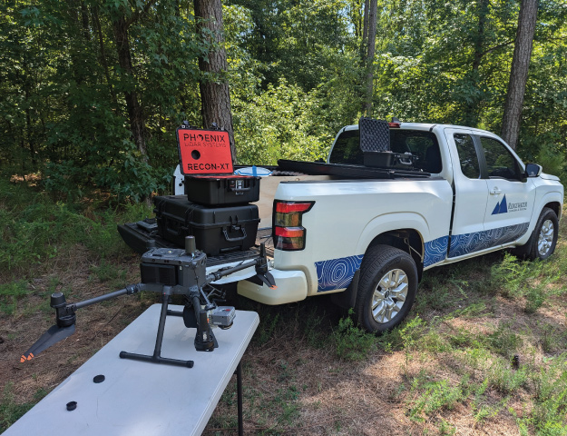
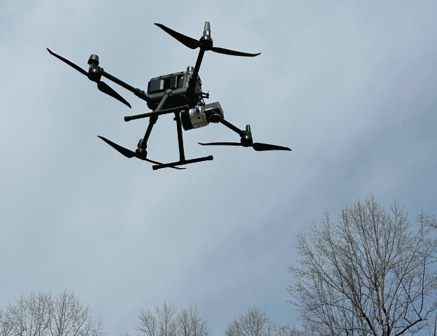
Our current capabilities can be separated into two main categories: photogrammetry and LiDAR.
Photogrammetry
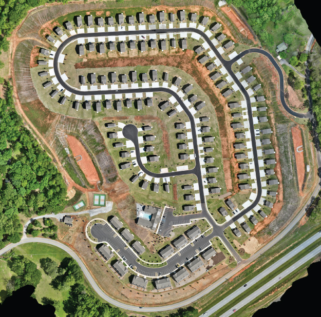
Photogrammetric data is often delivered in the form of an orthomosaic image, which is a true-color image that resembles those provided by satellite imagery providers. This imagery provides an extremely high-resolution view of your site, and with its rapid acquisition time, it is ideal for visualizing changes across a site over time. Orthomosaic imagery is excellent for extraction of planimetric features, such as building footprints, roadways, sidewalks, curbing, and power lines, and can be used for topographic surveys of open areas with little vegetation or ground cover.
LiDAR
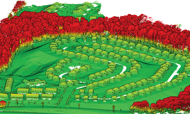
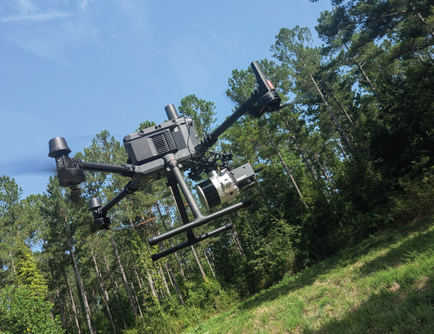
When precise three-dimensional data is required, especially in areas with dense vegetation or complex terrain, LiDAR may be utilized. Through the reflectance of light, LiDAR generates point data, with each point containing X, Y, and Z coordinates. Often numbering in the hundreds of millions, this “cloud” of points is used to model the terrain of an area, and elevation contours are extracted as a common deliverable. LiDAR is an excellent resource for large-scale topographic surveys, corridor mapping, and areas with detailed features.
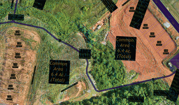
Using these technologies, we are able to provide many deliverables, including:
- Full topographic and existing conditions surveys, including contour, breakline, and feature extraction
- Corridor surveys of roads, rights-of-way, trails, and rivers
- As-builts of buildings, subdivisions, roads, and stormwater structures
- Volume and quantity estimations
- Pre-construction, during construction, post-construction progress imagery
Our UAS team is FAA-certified, and all deliverables are produced to meet accuracy and quality standards established by the American Society for Photogrammetry and Remote Sensing (ASPRS).
211 Society Street
Anderson, SC 29621
864.226.0980
Office Hours
Monday-Thursday: 8:00a-5:00p
Friday: 8:00a-12:00p
